Three to five rounds
A feasibility case rarely clears its committee first time. Each round sends it back.

Greater Sydney · live now ·For developers, owners & government
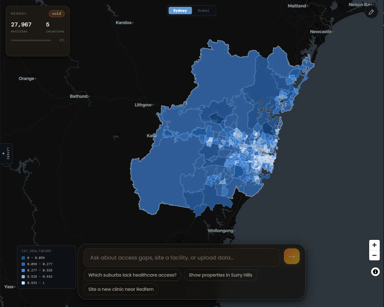
A structured model of the city — parcels, districts, roads, amenity. Ask a spatial question, get ranked scenarios traceable back to the data. Minutes, not weeks.
—
—
Ranked scenarios
Every screenshot is a live capture from the product · Every answer carries its own sourced, re-runnable evidence chain
The problem
A site question lands. You search, you email a collaborator, you wait, you assemble. Four days later there's a spreadsheet and a PDF. Then someone asks what happens if you cap parking — and most of those four days start over.
A feasibility case rarely clears its committee first time. Each round sends it back.
Almost none of it is new data. It's the same site with a constraint nobody mentioned at the start.
The one question a spreadsheet can't answer in the room. So it becomes another round.
Onthology holds the site, the constraints and the scoring in one place. Change the constraint — not the workbook.
What's loaded
You don't build a dataset before you get an answer. The city is encoded — parcels, districts, network, population, walk times — and queryable from your first session.
Real boundaries with actual geometry and footprint area — screened individually, not by suburb average.
Every district scored and rankable, covering a 5.23 million resident base.
Overture network, weighted by road class, clipped to whatever catchment your question defines.
Real routed walking times per facility, resolved at parcel level — not straight-line radii.
Parcels, districts, segments and facilities held as one queryable model, with the relationships between them.
Upload your portfolio, brief or constraints and Onthology reasons over them alongside the city model.
Counts from the live Sydney model
How it answers
Each step constrains the next. Nothing is generated before the city's own rules have been resolved against it.
Your question, in plain language.
The parcels, districts and relationships that bear on it.
Solved against each other, not one at a time.
Options generated across the surviving space.
Each option scored on the outcomes you named.
Ranked answers, each traceable to source.
The solver decides the ranking. The model explains it. Not the other way round.
Pricing
Before you talk to us
No. The back end is your own data store — load population figures, parcels, portfolio data or constraints in whatever format you already hold them. Onthology reads alongside your existing GIS estate; it doesn't require you to re-platform onto it first.
No — it's built to sit on top of the team you have. Onthology takes the routine, repeatable requests off their queue (the questions that currently mean a ticket and a wait) so they can spend their time on the analysis that actually needs a specialist.
Every answer carries the layers used, the source and date of each, the method applied, and a one-click re-run. Site selection is threshold-constrained — your parameters, visible and adjustable — not a black-box recommendation you have to take on faith.
Yes, for teams that need it. On-prem and hybrid deployment are available, and your data stays in open, non-proprietary formats throughout — it isn't locked into a schema only Onthology can read.
Most teams start with a scoped pilot: your own dataset loaded, a defined set of real questions, and a written evidence report you can take into a room — rather than a lengthy platform rollout before you've seen a single answer.
That's a study, not an answer. Onthology screens all of Greater Sydney against your constraints in an afternoon, and re-screens it in minutes when the brief moves.