
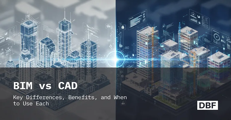
BIM vs CAD: Key Differences, Benefits, and When to Use Each
CAD (Computer-Aided Design) and BIM (Building Information Modelling) are two powerful tools in architecture, engineering, and construction (AEC). Urban planners, engineers, and designers must comprehend the distinction between BIM and CAD to build smarter, more sustainable, and more effective cities.
I have experience working on large-scale models and city-wide spatial strategies because I have a background in urban planning and GIS. Tools like CAD and BIM have changed how we create and present urban planning. This article will discuss the main distinctions between BIM and CAD, their advantages, and when to use each, especially in urban design environments.
What Is CAD?
.png)
Purpose and History
Since the 1960s, computer-aided design, or CAD, has revolutionized the draughting process by digitising conventional drawing techniques and enabling professionals to create precise 2D drawings and 3D models.
Common Tools
- AutoCAD
- Rhino
- SketchUp (early-stage visualisation)
Ideal Use Cases
- 2D site layout for urban development
- Drafting zoning maps and parcel plans
- Creating schematic designs for buildings or roads
Urban Planning Context
For instance, a planner might use CAD for land boundaries, road alignments, and zoning areas, even before performing 3D modelling or data integration. In the initial stage of urban planning, master plans, transit corridors, utility layout, and housing estates are the aspects that are often designed using CAD.
What Is BIM?
.png)
Purpose and Evolution
The AEC industry has rapidly adopted Building Information Modelling, or BIM, a relatively new technology. In contrast to CAD, BIM is data-driven, allows for 3D modelling, and includes thorough documentation for all components, including energy-efficient features, pipe diameters, and wall materials.
Common Tools
- Revit
- ArchiCAD
- Vector works
- Tekla
Ideal Use Cases
- Modelling high-rise buildings
- Infrastructure projects like transit stations
- Integrated design and construction documentation
Urban Planning Context
For urban designers, BIM is very helpful for modelling complex projects. When designing a new transit-oriented development, for example, BIM helps stakeholders to understand how the building will interact with nearby utilities, roads, and infrastructure. Using BIM, planners may simulate pedestrian traffic, water runoff, and even sun exposure.
BIM vs CAD: Here’s a comparative breakdown
Detailed Urban Planning Perspective
• Data Handling: You create a route in CAD. A road's width, material, and drainage system are all modelled in BIM.
• Cooperation: Several teams, including architects, traffic engineers, and GIS analysts, may collaborate on a single model using BIM. Many stakeholders are frequently involved in urban planning projects; real-time coordination is made possible by BIM.
• Visualization: BIM tools let you visualise how a planned development would seem from the perspective of a pedestrian or how public areas would be affected by shadows, two crucial elements of urban planning.
Benefits of CAD and BIM in Urban Planning
CAD Strengths
- Simpler and more lightweight for early-stage drafting
- Highly detailed 2D representations
- Ideal for site plans, road alignments, or schematic maps
BIM Strengths
- Integrates spatial and construction data
- Useful for life cycle analysis, cost estimation, and sustainability
- Supports regulatory compliance, such as fire safety or energy modelling
Urban Design-Specific Examples
- CAD: Drafting a new housing layout with parcel boundaries and road networks.
- BIM: Developing a mixed-use complex with detailed building information, connected to GIS data for flood risk and traffic simulation.
Pros and Cons of BIM and CAD
When to Use BIM vs CAD
How Digital Blue Foam (DBF) Fits into This Workflow
In addition to CAD and BIM, Digital Blue Foam (DBF) is an AI-powered urban design tool that enables planners and architects to quickly develop and evaluate design options at the conceptual stage by combining data, environmental considerations, and urban design.
Urban Planning Example
Suppose you are designing a new residential neighborhood. Massing models based on road access, walkability, and sunshine exposure can be produced rapidly with DBF. After approval, the concept will be exported for documentation into AutoCAD (a CAD program) or Revit (a BIM tool).
Architectural Example
With DBF, while designing a mixed-use skyscraper in a tight city, an architect may quickly examine a range of massing options in response to height restrictions, sunshine requirements, and wind studies. Before going into the precise modelling phase of the BIM (as in Revit), the DBF acts as a tool to help the architects understand how their building fits into the larger urban fabric. Once the ideal form has been decided upon, the model can be further developed in a BIM platform with structural systems, material data, and MEP coordination.
Why DBF Matters for Planners and Architects
DBF serves as a link between meticulous execution and early innovation. It allows for shorter feedback loops for environmental performance, zoning compliance, and walkability that are often encountered in whole districting. To ensure that aesthetic and performance goals align with site conditions and urban standards, it allows architects a simple way to assess and optimize design decisions at the beginning. Quick iteration, linked data, and easy export to CAD or BIM workflows benefit both disciplines.
Conclusion
The stage, scope, and complexity of a project influence whether you use BIM or CAD. CAD is also used for the creation of preliminary drafts in architectural and urban design, and there it is still widely used. It’s ideal for quickly creating schematic site plans, zoning diagrams, and conceptual layouts. Due to its simplicity, it should also be able to communicate basic design concepts without the requirement of cross-disciplinary integration or complex information.
BIM is important project grows larger, and more involvement is required. Architects may, for example, guide all phases of the building life cycle, from conceptual design and construction documentation to facilities management, and planners may factor in environmental, infrastructural, and social data into 3D visuals. BIM promises better compliance, easier interdisciplinary cooperation, and more sustainable designs.
Digital Blue Foam is a software that makes this transition easier. DBF helps experts coordinate their vision and implementation. It allows planners to develop intelligent urban models that respond to real-time inputs and architects to explore massing and performance alternatives without the need for laborious modelling. By bringing intelligence, speed, and clarity to the process of building a community or skyline, DBF bridges the gap between the complexity of BIM and the simplicity of CAD in a way that encourages innovation and cooperation.
Frequently Asked Questions
1. Is BIM better than CAD?
Not necessarily. CAD is better for early-stage and simple drafting, while BIM is better for detailed, integrated projects.
2. Can you use both CAD and BIM together?
Yes! Start with CAD for initial drafts, then migrate to BIM for execution and coordination.
3. What are the pros and cons of BIM vs CAD?
CAD is perfect for early investigation of zoning or infrastructure choices in scenario planning since it provides ease of use and speedy drafting for several conceptual layouts. It is deficient in data integration and analytical depth, nevertheless. However, BIM's complexity and resource needs may be a deterrent during the early phases of planning. This is because it enables dynamic scenario testing with real-time data on environmental, structural, and regulatory consequences.
