Plnr. Talha Sabir

Talha is an urban planner with a master’s in urban and regional planning and experience in sustainability, policy making, feasibility studies, and master planning of cities. He specialises in data-driven design using GIS, CAD, and BIM to support smart, sustainable urban development.

Thank you! Your submission has been received!
Oops! Something went wrong while submitting the form.
AI Generative Design
Plnr. Talha Sabir

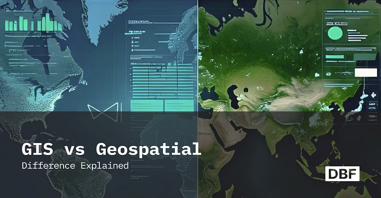
Difference Between GIS and Geospatial Explained

This blog clarifies the difference between GIS (Geographic Information Systems) and geospatial technologies, which are often confused but serve distinct roles. GIS is a system for managing, analyzing, and visualizing spatial data, while geospatial encompasses a broader set of tools like GPS, remote sensing, and IoT that gather and process location-based information. The post explores their applications in urban planning, disaster response, environmental monitoring, and logistics. It also highlights how tools like Digital Blue Foam (DBF) bridge the gap by making advanced spatial analysis accessible to non-experts. Understanding both helps professionals choose the right tools for smarter, data-driven decision-making.
Instant BIM
Plnr. Talha Sabir

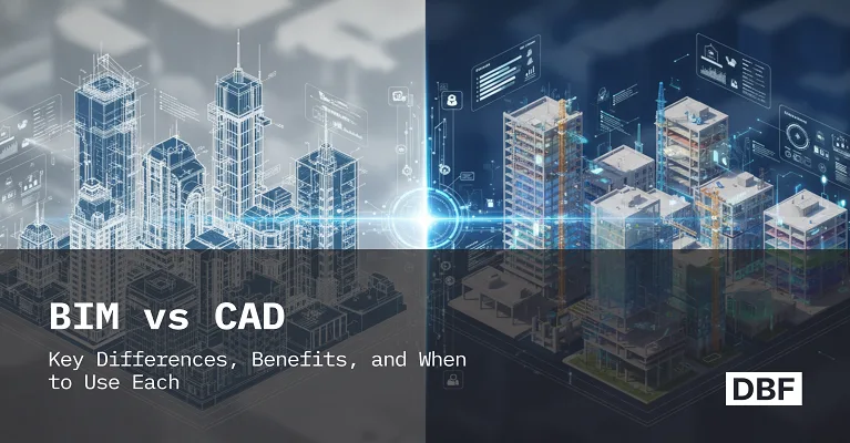
BIM vs CAD: Key Differences, Benefits, and When to Use Each

Explore the key differences between CAD and BIM, their benefits, and when to use each in urban planning. Learn how Digital Blue Foam bridges early design and detailed execution seamlessly.

Join our waiting list

Be the first to get exclusive access to early releases, valuable insights, and platform updates from DBF.

By submitting this form you agree to receive emails, text and promotional communications from DBF related to products and services in accordance with DBF privacy policy.

Thank you! You have joined the waiting list!
Oops! Something went wrong while submitting the form.